

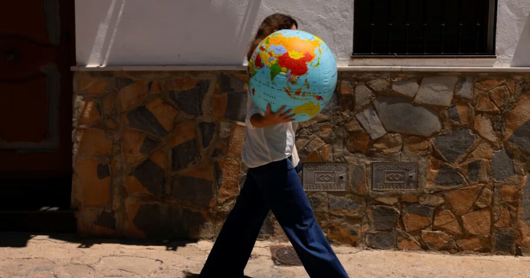

The UN General Assembly has decided to amend the traditional representation of the world map to depict the size of Africa more accurately. This decision was initiated by the Republic of Togo and received the support of 164 countries. However, six states, including Ukraine, abstained from the vote.
Ukraine’s representative to the UN, Andriy Melnyk, explained his position by citing issues relating to the depiction of Ukrainian territories on the proposed map. The new map projection, known as ‘Equal Earth’, depicted the Ukrainian territories occupied by Russia in an inaccurate manner, thereby violating Ukraine’s sovereignty and territorial integrity. This was Kyiv’s main argument against the adoption of this map.
Interestingly, the Equal Earth map is designed to correct the historical distortions inherent in the Mercator projection, which was developed in the 16th century and is still widely used today. It essentially enlarges the size of countries located closer to the poles, thereby creating the illusion that, for example, Greenland is almost the same size as Africa. In reality, Africa is considerably larger.
Only the United States voted against the resolution. The US representative described the proposal as a ‘radical ideological move’. Nevertheless, Togo’s Foreign Minister Robert Dussé described the adoption of this resolution as a step towards historical justice. He emphasised that correcting cartographic distortions would help to change perceptions of the world and its regions.
Thus, the decision to replace the world map with a new projection opens up a debate on how cartographic representation can influence our perception of geopolitical reality and the balance of power on the international stage.